How Long After High Tide Is Slack Tide? Timing Slack Water in Marin
How long after high tide is slack tide? Plan on the current turning anywhere from a few minutes to roughly an hour and a half after the posted high, with the longest lags at narrow entrances and deep inside long bays. A posted high tide is a water level. Slack tide is a current, and the two almost never happen at the same minute.
That gap is why a paddler can launch right at the high on the chart and still fight a flood current for the first half hour.
What Is Slack Tide?
Slack tide is the short pause when a tidal current stops before it reverses. It is also called slack water, and it happens twice in each tide cycle: once at the end of the flood, once at the end of the ebb.
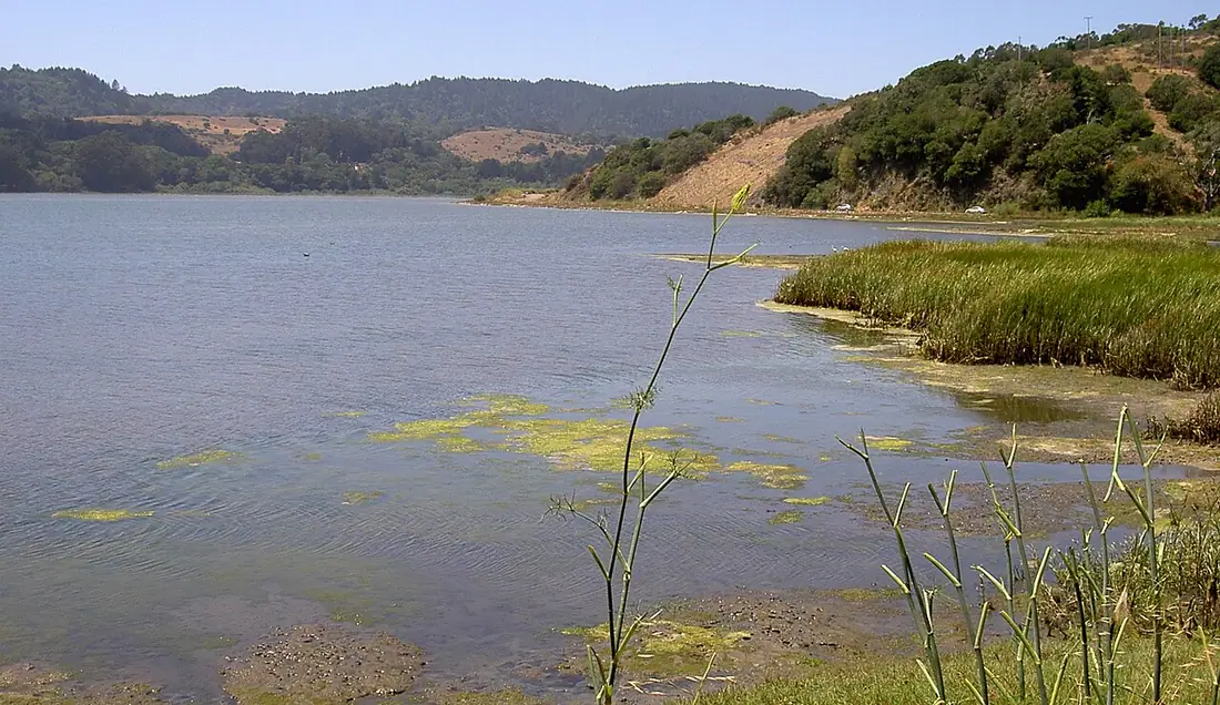
Tide tables answer a different question. They tell you how high the water will stand, not which way it is moving or how hard. Our guide on how to read a tide chart covers the heights. This one covers the clock.
Current gets its own forecast. NOAA publishes tidal current predictions for named channels and entrances, listing slack water, maximum flood and maximum ebb. Those are the numbers to time a crossing by.
Why Slack Water Runs Later Than High Tide
Water keeps flowing into a bay until the level inside matches the level outside. At a narrow mouth that takes time, so the flood current is still running after high water on the ocean side.
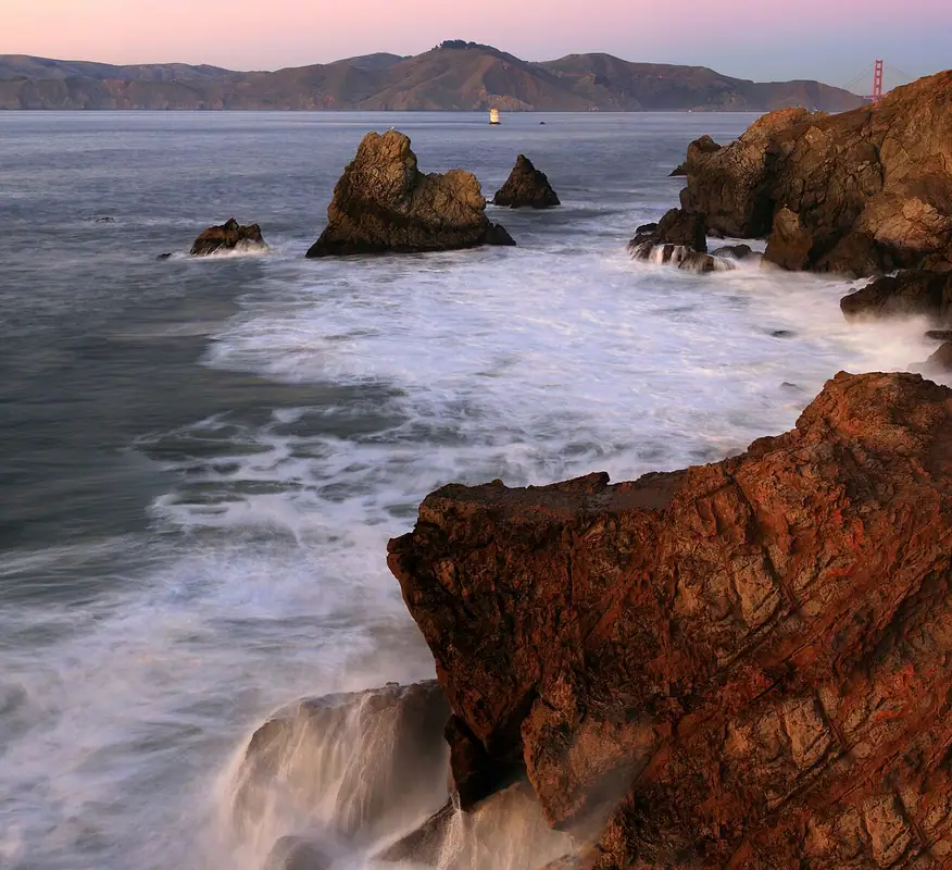
The tighter the opening and the bigger the basin behind it, the longer the catch-up lasts.
On open coast beaches the tidal current is weak and slack hardly matters. At entrances, channels and tidal creeks it decides the whole trip.
What to expect where you are going
| Where you are | How slack relates to the posted high |
|---|---|
| Open ocean beach | Close to high water, and the current is light either way |
| Bay or harbor entrance | Flood keeps running after the coastal high, so slack comes later |
| Deep inside a long bay | High water itself arrives late, then slack follows it |
| Tidal river or creek | River flow holds the ebb going and shortens the pause |
Start with the station nearest your launch. Tide times alone shift a lot across the county, and NOAA predicts the high at Inverness about an hour and a half later than at Point Reyes. Slack water sits on top of that offset, not instead of it.
Bodega Bay Slack Tide
Bodega Bay is just over the county line in Sonoma, and the harbor there drains through a dredged channel between jetties. All of that water squeezes through one gap, so the turn at the entrance runs behind the high tide posted for the open coast.
Crab and salmon boats cross the entrance near slack because a strong ebb meeting incoming swell stands the seas up steep and close together. If you are launching a small boat or a kayak, look up the nearest NOAA current station for the entrance rather than reading a tide height for the bay.
Tomales Bay Entrance Tides
Tomales Bay is about 15 miles long, roughly a mile wide, and sits in the trench of the San Andreas Fault. Every tide cycle has to move through the bar at the north mouth near Dillon Beach, which makes that one spot the strongest current in the county for its size.
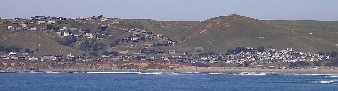
The bar breaks hard on a running ebb. Boats cross near the turn for exactly that reason, and the inside of the bay stays usable long after the mouth has become a bad idea.
For paddling, the practical rule is to work with the current instead of against it. Our Tomales Bay kayaking guide covers launch points and the wind pattern that usually matters more than the tide by mid afternoon. Anglers have the opposite problem, since fish often move on the push rather than the pause, which is why Tomales Bay tides for fishing treats the current as the point rather than the obstacle.
Does Slack Last Longer on Some Days?
Yes, and the monthly cycle controls it. A bigger range between high and low means more water has to move in the same six hours, so the current peaks harder and the pause between flood and ebb gets squeezed.
A small range does the reverse. On a neap tide the water barely moves, and the quiet window can stretch comfortably. Our guide to spring and neap tides explains which weeks bring which.
The extremes cut both ways. A very low ebb drains a lot of water fast, and the days with the deepest lows are also the days with the fiercest currents. Read minus tides before planning a trip around one of those.
How to Time Slack Water for Your Trip
- Find the current station closest to your launch or crossing, not just the tide station.
- Note the predicted slack water times for the day, both the end of the flood and the end of the ebb.
- Compare each one with the posted high or low at your tide station and write down the gap. That offset stays fairly steady at a given spot, so you only have to learn it once.
- Put the committing part of the trip, the bar crossing or the narrow channel, inside about 30 minutes either side of slack.
- Check the wind. Wind blowing against even a modest current builds steep chop that a flat forecast will not warn you about.
One more habit worth keeping. Current predictions assume normal conditions, so heavy winter runoff down a creek or river can keep an ebb going past the time the table says it should stop.
Where to Go Next
If your trip involves the mouth or the inner bay, go to our Tomales Bay tide page for the daily highs and lows, then pull the matching NOAA current prediction for the entrance.
Tomales Bay tides is the page to bookmark for that.
Slack Water Timing Questions
How long after high tide is slack tide?
It depends on where you stand. At an open ocean beach the current is weak and the turn falls close to high water. At a narrow bay or harbor entrance the flood keeps running after the posted high, so slack can come half an hour to well over an hour later. Current predictions for your station give the exact time.
Is slack tide the same thing as high tide?
No. High tide is a water level, the moment the water stops rising at one spot. Slack tide is a current, the moment the water stops moving sideways before it reverses. In a place with a constricted mouth, water keeps pouring in after the level outside has peaked, so the two events land at different times.
How long does slack water last?
Long enough to be useful, not long enough to waste. On a weak neap tide the quiet window can stretch past half an hour. On a big spring or king tide the current slows, pauses and builds again quickly, so you may only get ten or fifteen minutes of genuinely easy water. Plan the hard part of the trip around the predicted slack.
When is slack tide at the Tomales Bay entrance?
Later than the high tide posted for the outer coast, because all of the bay drains and refills through one narrow mouth. The bar there breaks hard on a strong ebb, which is why small boats cross near the turn. Use the nearest NOAA tidal current prediction rather than a tide height table before you commit to the crossing.
Do tide tables show slack water times?
Standard tide tables do not. They list the times and heights of highs and lows, which tell you how deep the water will be and nothing about which way it flows. NOAA publishes separate tidal current predictions for named channels and entrances, and those list slack water along with maximum flood and maximum ebb.